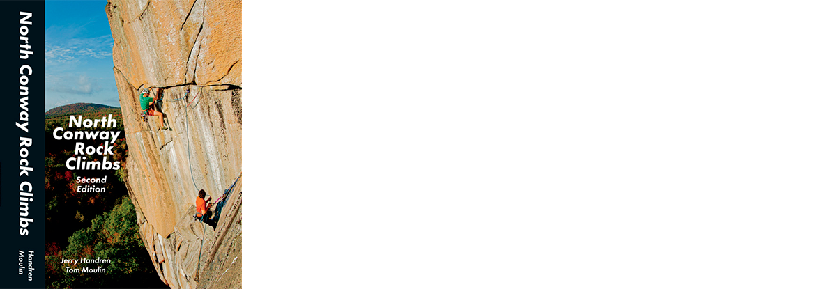
North Conway
Rock Climbs
Second Edition
Second Edition
This edition includes around 500 new routes. Many of the well-established cliffs such as Cathedral and Sundown have seen important additions while other established but previously obscure areas, such as Greens Cliff, have matured into major climbing zones. We have also expanded the scope to include some of the crags near the southeast end of Crawford Notch.
Perhaps surprisingly, many smaller new cliffs have been found and developed around the region, with the emphasis being on more moderate sport and mixed climbs.
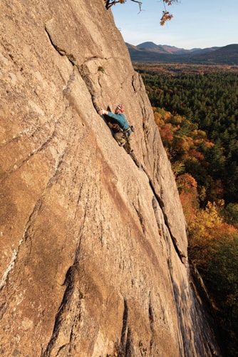
Aside from the routes, this edition includes a full history section and a full index by grade. There are also many new and upgraded crag shots as well as a large number of new action shots showcasing many of the newer and most classic routes.
 This guidebook covers a broad geographical area loosely centered on the town of North Conway, stretching from the crest of the Kancamagus
Highway in the west, down through the Mount Washington Valley, and east to the crags in Evans Notch and near Bethel in western Maine.
As a climbing venue, it has a lot to offer, including everything from short sport routes to epic multipitch traditional climbs – some close to
the road, others miles away in a sea of trees. With a wide collection of rock types, including granite, schist, gneiss, and even some
exceptional volcanic rocks, the climbing is varied, unique, and thought-provoking.
This guidebook covers a broad geographical area loosely centered on the town of North Conway, stretching from the crest of the Kancamagus
Highway in the west, down through the Mount Washington Valley, and east to the crags in Evans Notch and near Bethel in western Maine.
As a climbing venue, it has a lot to offer, including everything from short sport routes to epic multipitch traditional climbs – some close to
the road, others miles away in a sea of trees. With a wide collection of rock types, including granite, schist, gneiss, and even some
exceptional volcanic rocks, the climbing is varied, unique, and thought-provoking.
Alongside the exceptional routes, this area is one of the oldest climbing grounds in North America. The hallowed granite faces of Cathedral and Whitehorse Ledges are particularly well-known for hosting an incredible collection of traditional routes that have been established over many generations.
Further off the beaten path, the wild, remote feel of backcountry climbing in the White Mountains has been a draw for decades. In recent years, there has been a surge of route development, resulting in the addition of many new routes at some of the most beautiful cliffs in America, like Green's Cliff, Square Ledge, and Stairs Mountain.
Additionally, the tremendous potential of the schist cliffs of western Maine has finally been realized. This has resulted in a large, and growing, collection of sport climbs, including some of the best in New England at cliffs such as Wild River, Laughing Lion, Squaredock, Shagg, Bald Bluff, and many other smaller venues.
Add it all up, and you have more than 2200 rock climbs of all grades and styles, representing one of the most diverse collections of routes to be found in any single area in the country.
This guidebook includes detailed descriptions of almost all the routes in the area. Rather than being a compilation of descriptions from other sources, this book is based on the firsthand experience of the authors, with new, updated descriptions. As well as the written descriptions, this guidebook makes extensive use of photodiagrams, custom-drawn maps, and GPS data to ease the process of finding the cliff and finding the route. Our goal has been to make this the most usable, accurate, and detailed guidebook for the area.
Newly Updated!
By Jerry Handren and Tom Moulin
A comprehensive climbing guidebook to Red Rock Canyon, Nevada.
Visit PageNEW! A comprehensive guidebook to the rock climbing found in the Mojave region.
Visit Page